
 Yahoo News
 Hottest day of year so far as temperatures to rise again for bank holiday
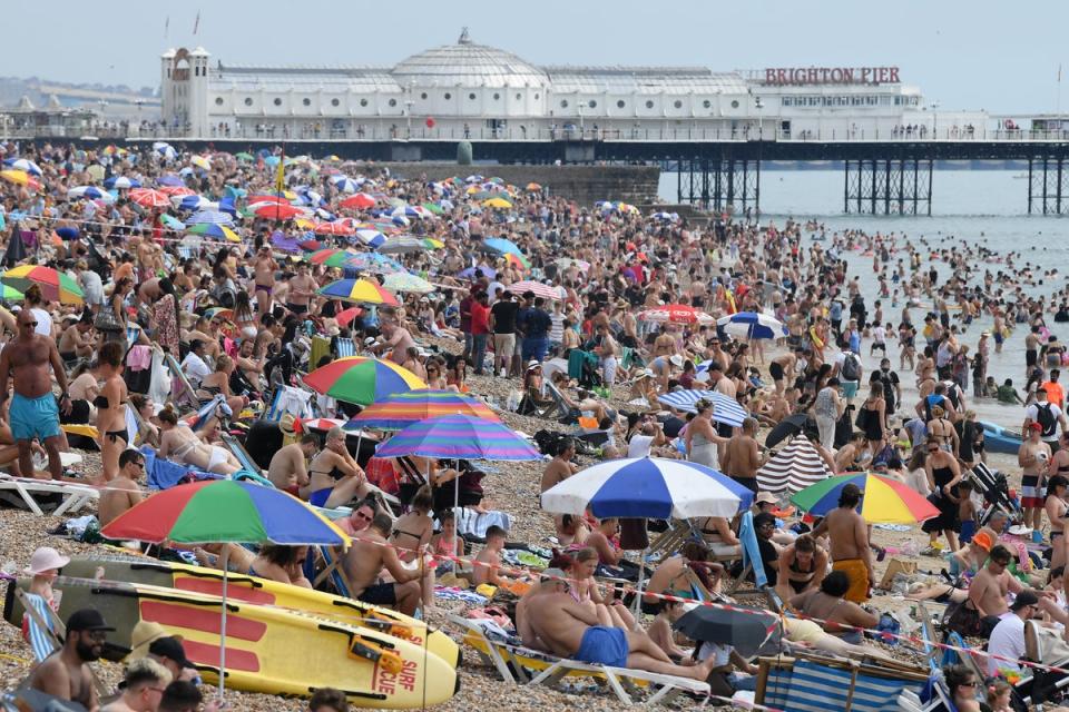
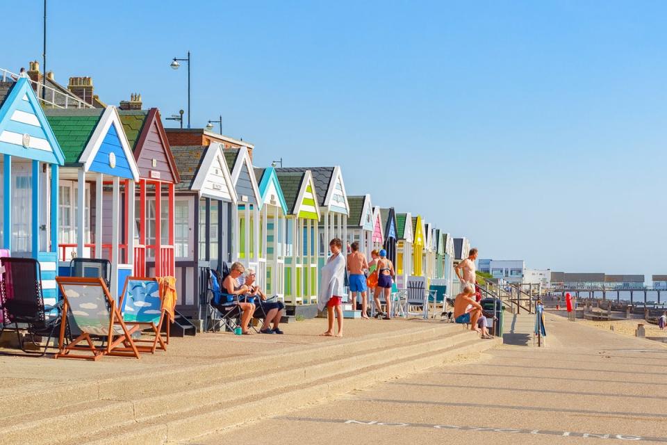
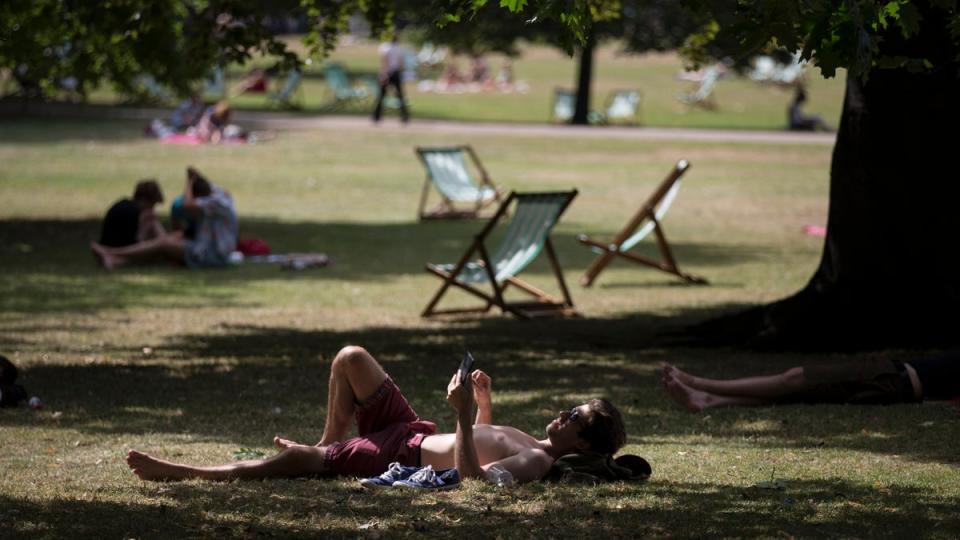
England, Wales and Northern Ireland celebrated the hottest day of the year so far on Saturday, with temperatures expected to rise further over the bank holiday weekend.
The Met Office recorded a high of 20.2C in Pershore, Worcestershire.
In Northern Ireland, temperatures peaked at 20C at Castle Derg while in Wales 19.2C was recorded in Llysdinam.
Some of those hoping to enjoy the sunshine may be left disappointed, with thunderstorms arriving in Northern Ireland, Wales and parts of England later on Saturday.
Meteorologist Tom Morgan said: “The air to the west of the UK today is a lot warmer and can hold a lot of moisture.
“That body of air will slowly transfer towards the east by Monday creating a risk of showers across East Anglia and the South East.
“High pressure across the rest of the UK will produce generally dry conditions elsewhere on Monday.
“For most, it should be a fine bank holiday, pleasantly warm with some light wind and good for getting out to any planned events.”
Despite warm conditions elsewhere, temperatures in Scotland have been much lower, ranging between 5C and 12C.
But Sunday should be a much warmer day for Scotland on the whole with a risk of some heavy showers in the south.
This band of rainy thundery weather will affect Northern Ireland, Wales and western parts of England, while eastern regions remain dry with some sunny spells.
Although conditions are expected to cool slightly on Sunday with highs of 19C in England, the Met Office says they will rise again on bank holiday Monday to reach 21C in southern parts of the UK, potentially making it the hottest day of the year.
The highest temperature of the year so far remains 21.2C in Kinlochewe, Scotland, on April 17.
By Monday, drier conditions will develop from the west, with showers concentrated across eastern areas.
High pressure through the early part of next week is likely to keep conditions dry, and early predictions for next weekend suggest a mixture of sunshine and showers for the King’s coronation in London, with temperatures expected to reach 17-20C.
Met Office five-day outlook
Today:
Outbreaks of mainly light rain in parts of northwest UK, at first moving erratically northeastwards. Elsewhere, bright or sunny spells with some heavy and perhaps thundery showers developing in the west. Chilly across the north and northeast, feeling warm elsewhere.
Tonight:
Clear spells across the south and southeast. Elsewhere becoming increasingly cloudy with some showery outbreaks of rain, heavy in places. Chilly in the north and southeast, otherwise generally mild.
Sunday:
Mostly cloudy with showers in the west and north, some heavy and thundery. Mostly dry and fine in central and southeast England. Feeling warm, especially in the brighter east.
Outlook for Monday to Wednesday:
Mostly dry, warm, with sunny spells and light winds. Some showers in the southeast on Monday, and briefly colder with wintry showers in the extreme northeast. Breezier later.

